

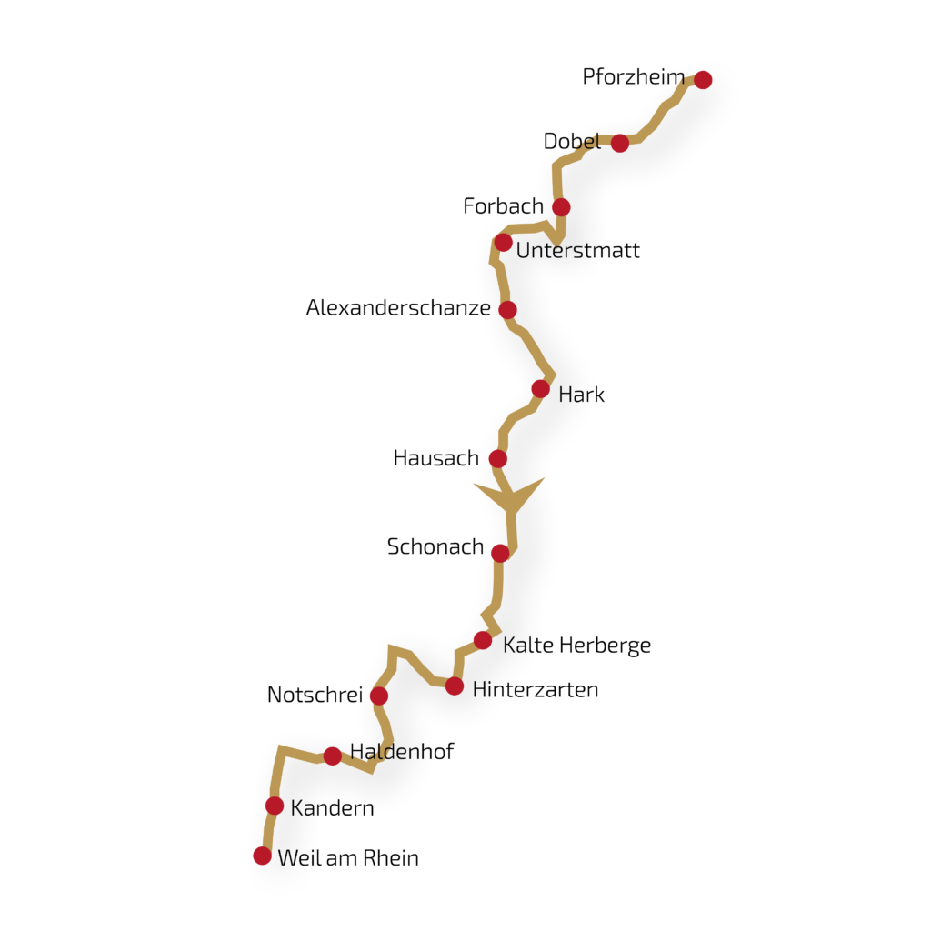
Crossing Black Forest from north to south
Distance: approx. 26 kms | 811 meters uphill | 368 meters downhill.
On the very first day, you’ll get an idea of why the Schluchtensteig bears its name. The ascents should not be underestimated but are rewarded with impressive views. With a bit of luck, the historic Sauschwänzle Railway crosses your path on the first part of the stage. Later, you’ll traverse narrow, root-filled paths through the primeval-like Wutach Gorge towards Blumberg.
Distance: approx. 27 kms | 553 meters uphill | 922 meters downhill.
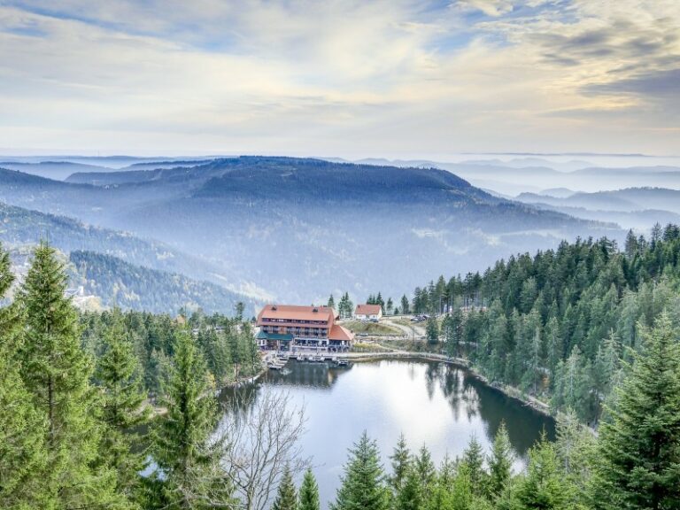
From the sunny plateau of Dobel, you’ll immerse yourself in the densely wooded Northern Black Forest, leaving it from time to time to enjoy magnificent views. Kaltenbronn offers a wild and romantic experience as you walk on a boardwalk through the high moor. The highlight of today, quite literally, is the Hohlohturm tower, which offers panoramic views from the Vosges to the Swabian Alps, Odenwald, and even the Swiss Alps.
Distance: approx. 19 kms | 1,048 meters uphill | 459 meters downhill.
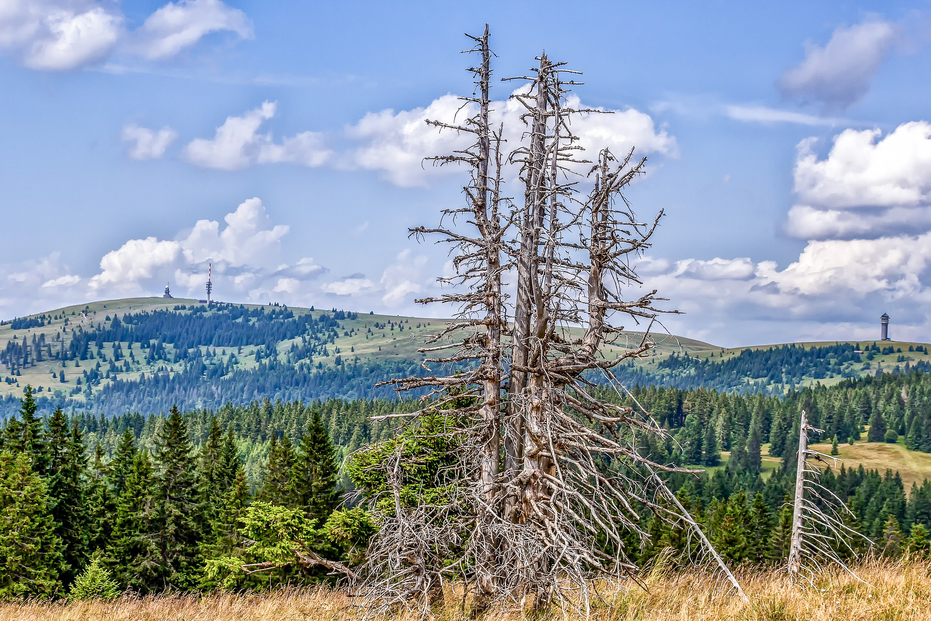
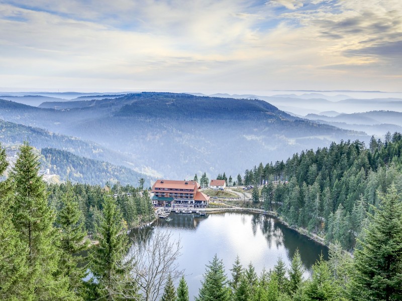
Today’s route is challenging, with over 1,000 meters of elevation gain. You’ll cross the first two of a total of ten peaks above 1,000 meters along the Westweg. Steep ascents, beautiful views, and deep blue waters in the Schwarzenbach Reservoir and the idyllic Herrenwieser Karsee lake await you. Hochkopf is particularly beautiful, with cotton grass blooming in spring and vibrant heather in late summer.
Distance: approx. 28 kms | 846 meters uphill | 792 meters downhill.
This stage features the highlights of the Northern Black Forest: the Hornisgrinde as the highest mountain, the legendary Mummelsee, and the protected Schliffkopf with its high moor-like summit. The flora and fauna in the Grindenschwarzwald are also impressive: with a bit of luck, you might encounter a European adder or catch a glimpse of a sand lizard.
Distance: approx. 17 kms | 252 meters uphill | 522 meters downhill.
After the challenging stages of the past days, you can take it a bit easier today. „Forest bathing“ could be the motto of this day. Right from the start, you’ll immerse yourself deep into the forest and won’t emerge until shortly before your destination, the very idyllic Harkhof. Dense forests, tall trees, deep shadows, and lush greenery will accompany you throughout the entire stage.
Distance: approx. 15 kms | 423 meters uphill | 880 meters downhill.
One of the shortest stages on the Westweg gives you the opportunity for a little detour today: up to the Brandenkopf Tower, which, as you might guess, rewards you with a great view over the Kinzigtal. But a visit to the Käppelehof is also a tempting option. The challenge comes towards the end of the stage when the trail descends steeply in switchbacks from the viewpoint of Spitzfelsen down into the Kinzigtal.
Distance: approx. 22 kms | 1,284 meters uphill | 557 meters downhill.
Some refer to it as the devil’s stage of the Westweg: almost 1,300 meters of elevation await you today. However, after the first steep climb up to Farrenkopf, you will have completed half of the altitude gain. Two more ascents later, you can relax at Karlstein and take in the view of seemingly endless fir forests. From here, you will gently ascend and descend to Wilhelmshöhe.
Distance: approx. 22 kms | 479 meters uphill | 426 meters downhill.
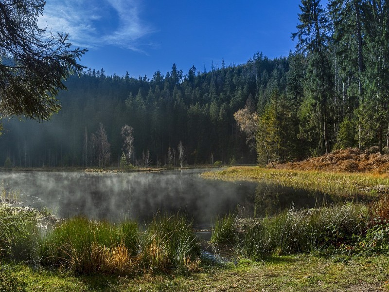
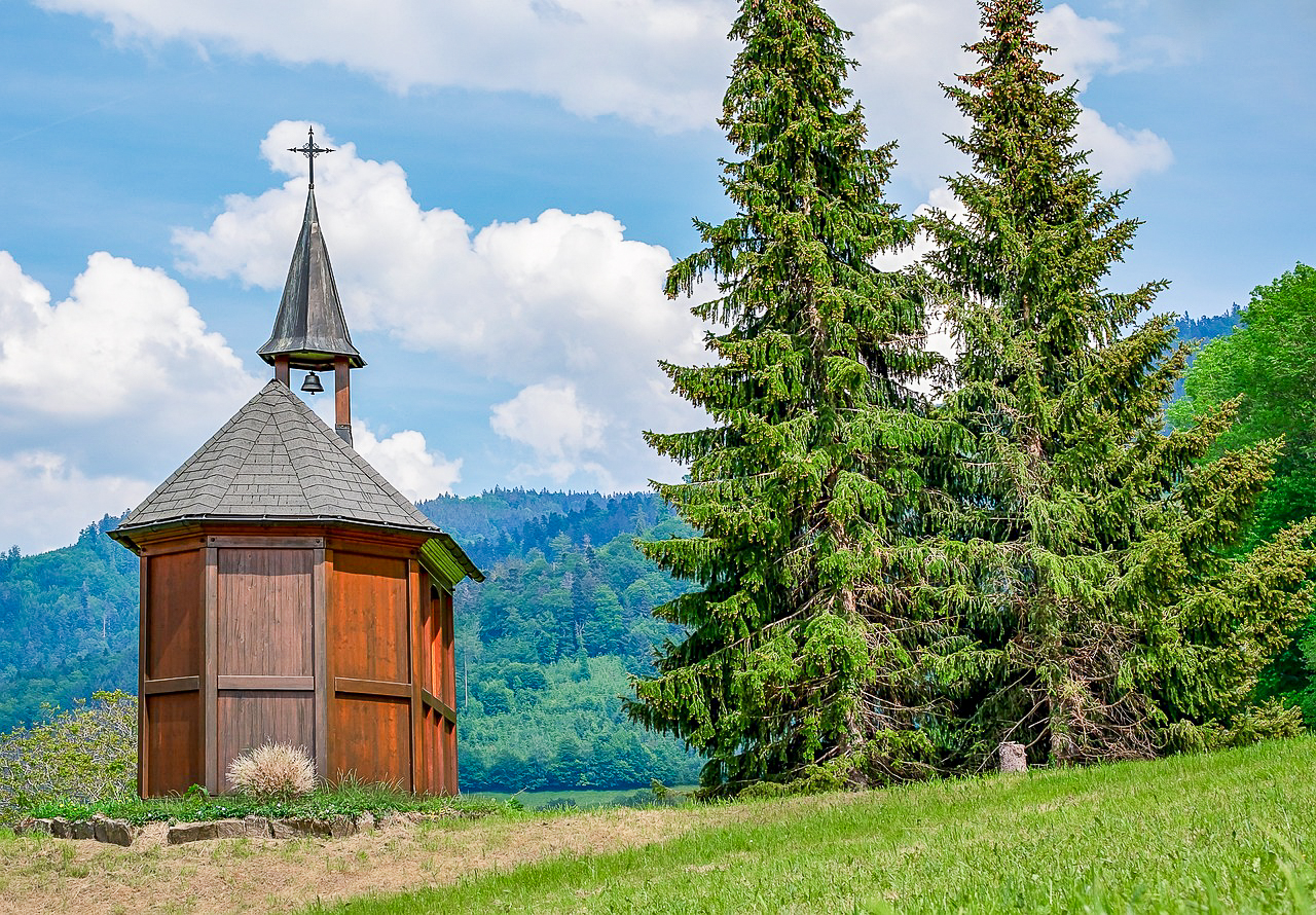
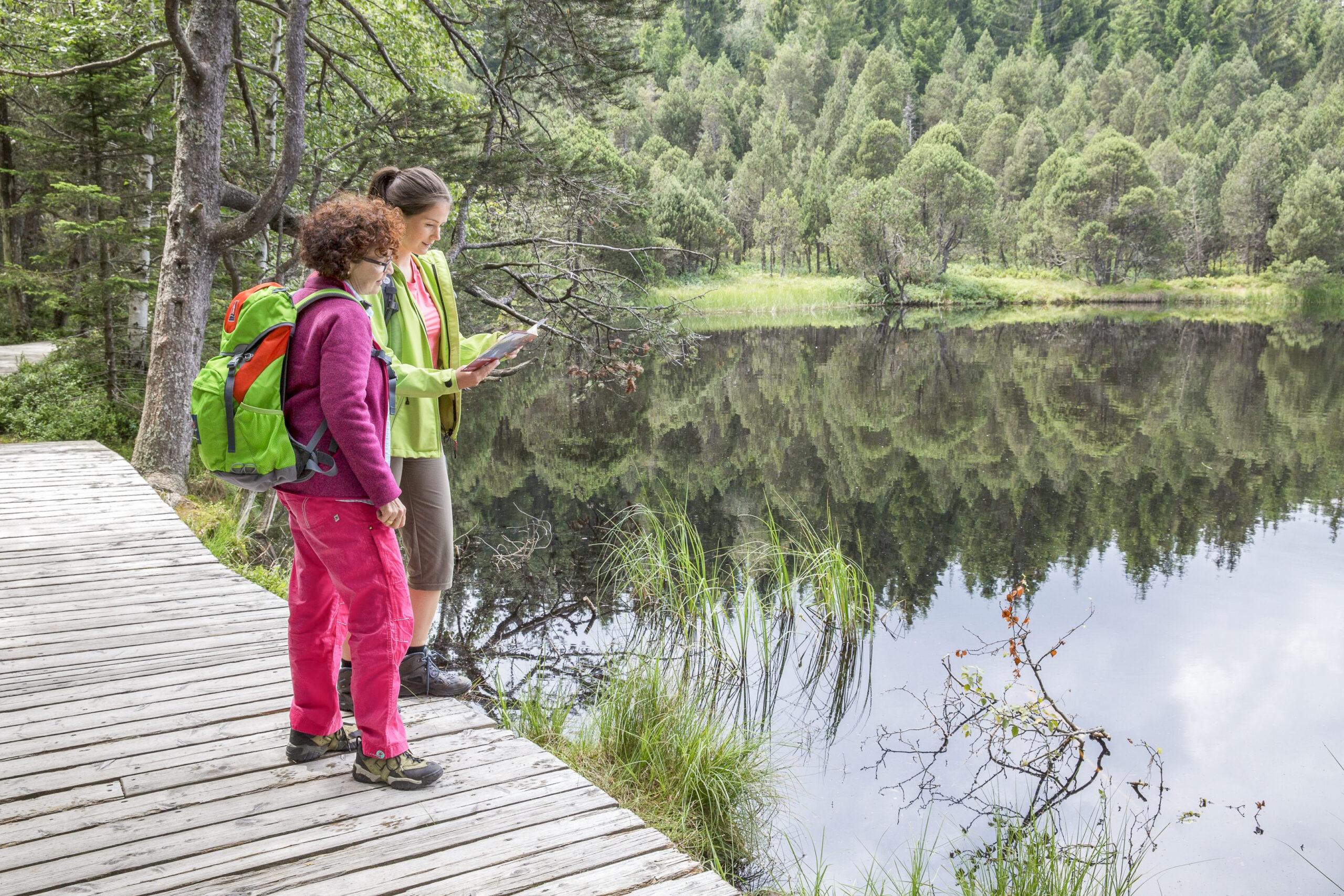
Right at the beginning, you’ll encounter the Hochmoor-Blindensee, an especially idyllic spot. It’s so beautiful here that you might feel like whispering. Next, you’ll reach the Martinskapelle, where you can find the source of the Danube nearby. While it may not look particularly spectacular, it’s still impressive when you consider how this small stream eventually becomes a mighty river.
Distance: approx. 26 kms | 581 meters uphill | 707 meters downhill.
The Feldberg is calling. Although the highest peak of the Black Forest is not on your itinerary today, it will gradually come into view as you progress, building your anticipation. The highlight of this stage is undoubtedly Lake Titisee, the largest and most famous natural lake in the Black Forest. It’s worth taking in the local atmosphere while enjoying a slice of Black Forest cake.
Distance: approx. 20 kms | 768 meters uphill | 545 meters downhill.
The queen stage awaits you, with the ascent of the Feldberg. Needless to say, the view from up here is absolutely breathtaking. But continuing your journey is also worthwhile. At Stübenwasen, a beautiful pass below the Feldberg, things are a bit more peaceful. On Germany’s largest tree trunk lounger, you can enjoy the view in complete tranquility and let the sun pamper you.
Distance: approx. 19 kms | 572 meters uphill | 767 meters downhill.
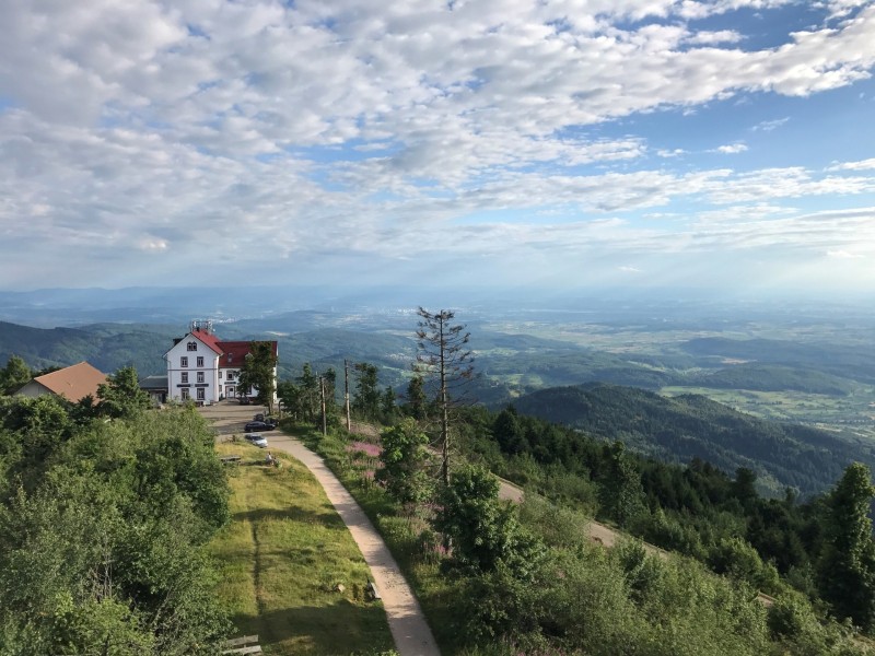
After the highest peak, today you ascend to arguably the most beautiful summit in the Black Forest, the Belchen at 1,414 meters. An alpine path winds its way beautifully up the steep north side from Wiedener Eck. When you arrive at the barren mountain top, you’ll enjoy an indescribable panoramic view over the entire Southern Black Forest to the Alps. But be careful not to be carried away by the wind.
Distance: approx. 20 kms | 440 meters uphill | 1,050 meters downhill.
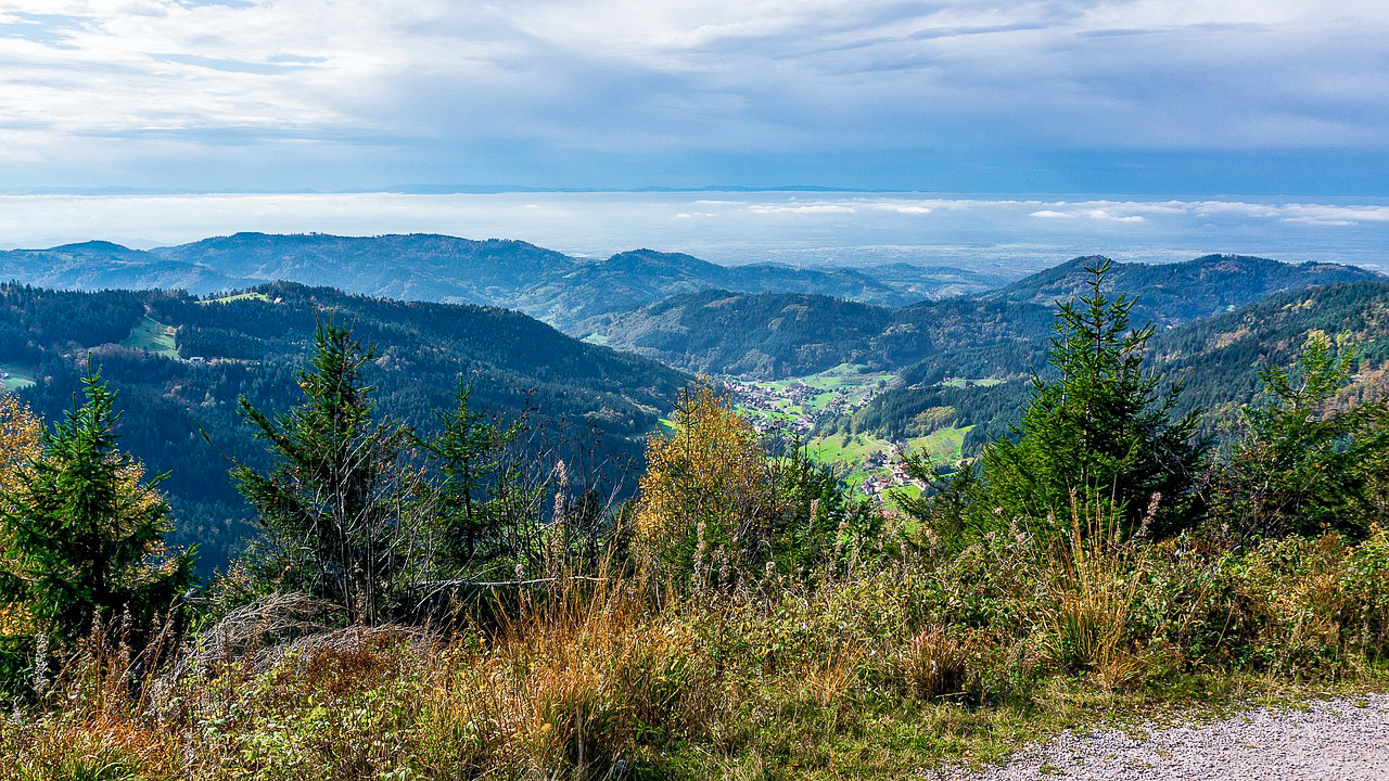
Slowly, the end of the Westweg is approaching. With the Blauen, you have the last of the ten 1,000-meter peaks in front of you today. One last steep ascent, one last panoramic view with a glimpse of your final destination, Weil am Rhein. Descend along small forest paths, passing through Hexenplatz (Witches‘ Square) and Sausenburg, leaving the Black Forest behind and entering the historic town of Kandern. It almost feels a bit Mediterranean here.
Distance: approx. 21 kms | 458 meters uphill | 547 meters downhill.
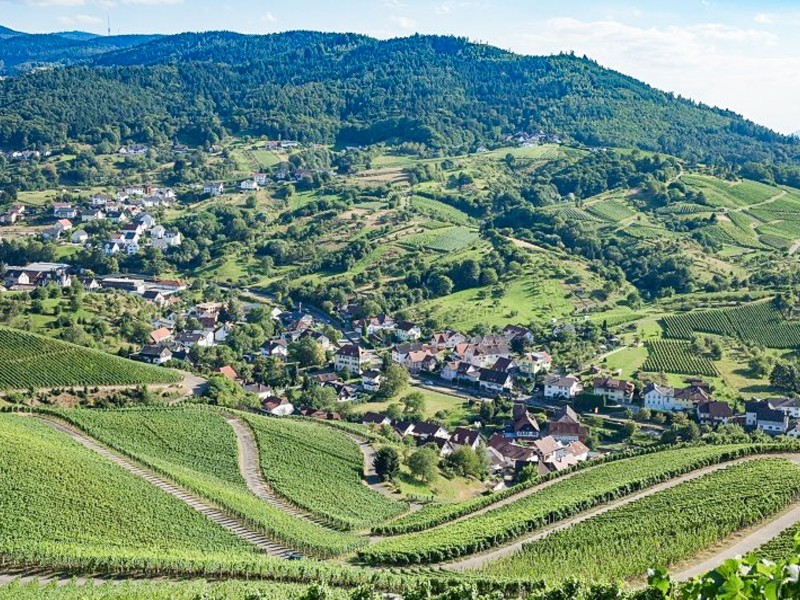
On the last stage, you finally leave the Black Forest behind. Green meadows, charming vineyards, and open deciduous forests in the Markgräflerland region contrast with the deep Black Forest of the past few days. Weil am Rhein marks the end of your journey on the Westweg. From there, the Swiss city of Basel is just a stone’s throw away and definitely worth a visit.
Who is the Westweg trail suitable for?
This hiking tour on the Westweg trail is ideal for couples, small groups and individual travellers.
This trip is not suitable for people with limited mobility.
Requirements/Difficulty
Which level does the trail have?
According to our definitions, it’s a level 4 trail:
4 Points = challenging & demanding | walking time: 7-8 hours | ascent: 600-1000 meters
You are familiar with endurance sports and seek challenges in nature. Your endurance is good and you enjoy pushing yourself to reach your daily hiking goals.
Characteristics of the trail
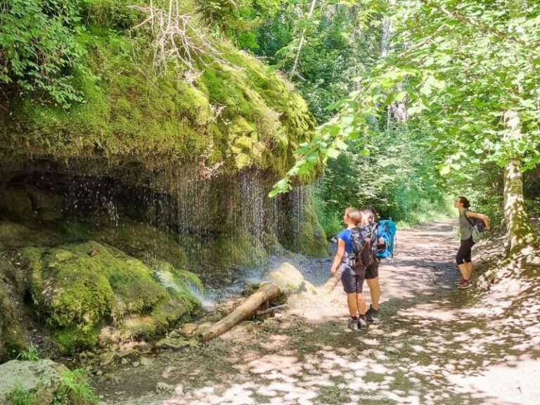
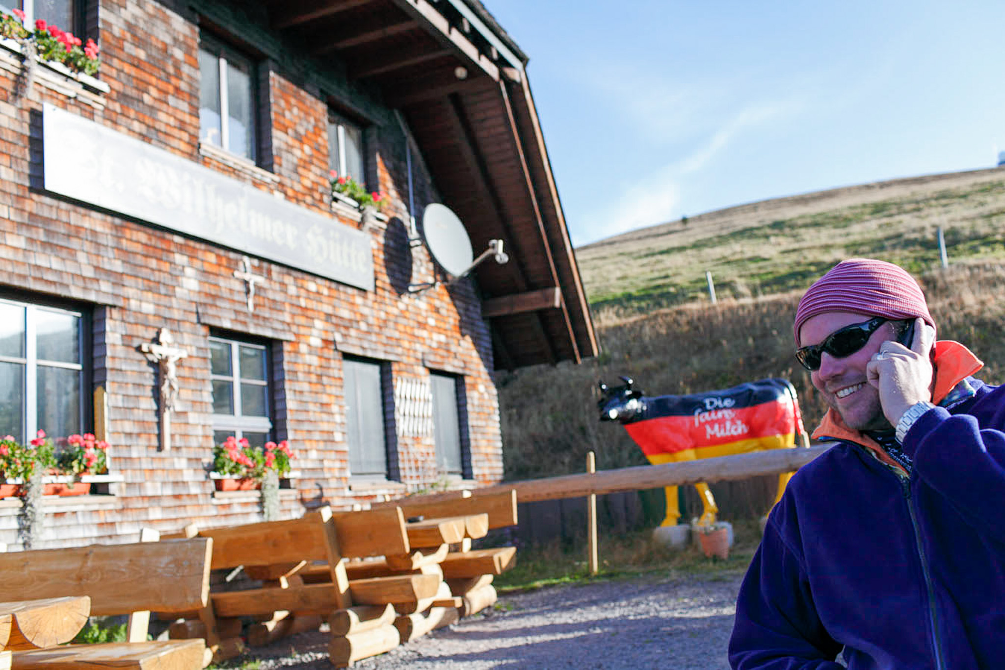
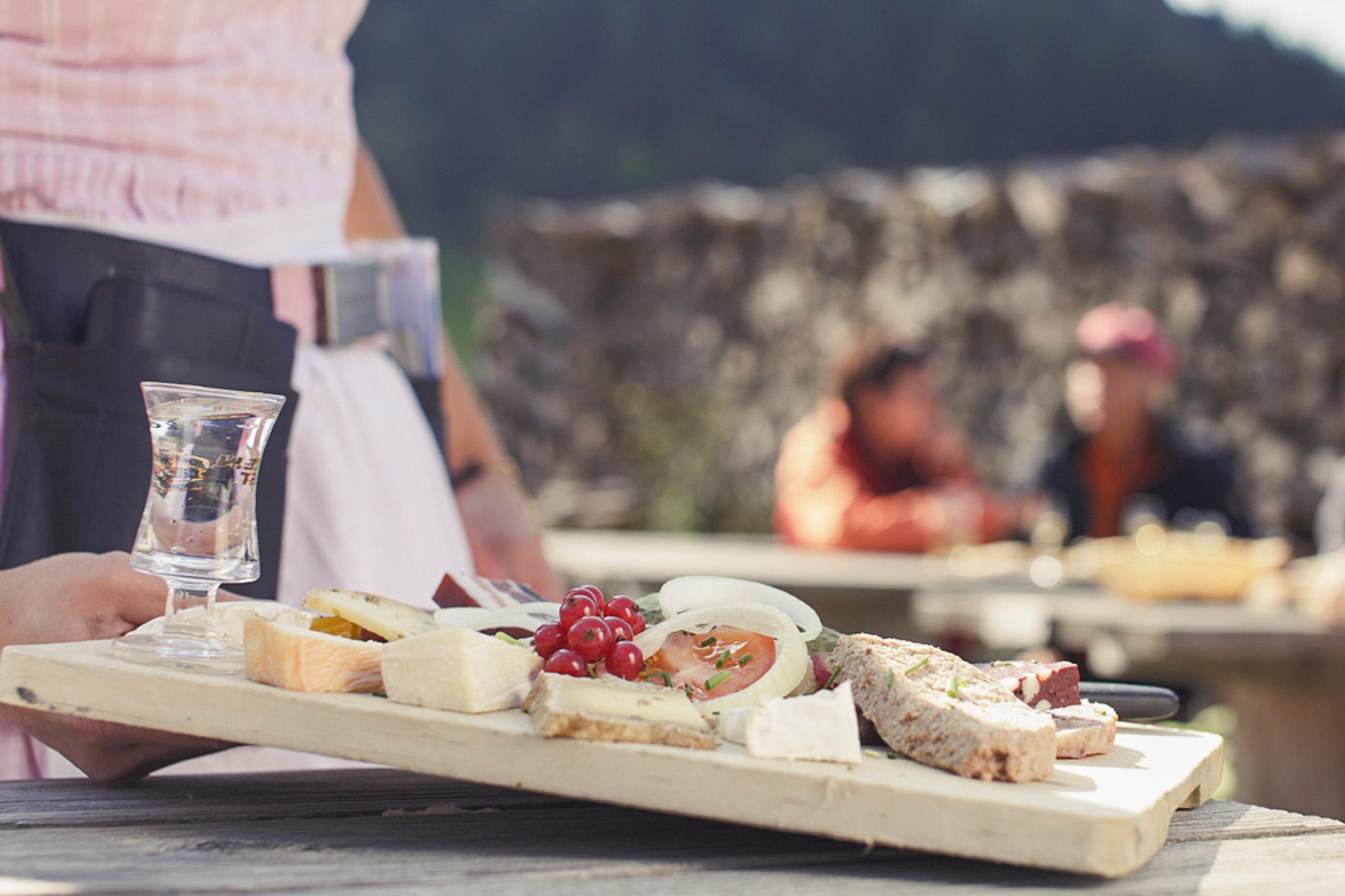
The Westweg trail is a high-altitude trail. The daily stages are long and, due to the significant elevation gain, can be strenuous and challenging at times. In a few places, the trail has an alpine character, meaning it is a narrow, steep path with roots and stones. You should be sure-footed, but there are no climbing sections.On some stages, there are very few or even no opportunities for refreshments. It is essential to carry enough provisions for the entire day in your backpack!
How is the Westweg signposted?
The Westweg trail is signposted with a red diamond-shaped marker.
The best time to travel
We recommend this hiking trip from April to October.
At the beginning of April there may still be snowfalls on the mountain ranges, as well as in October. The Westweg is a high-altitude trail and therefore it can get very hot in summer on the sections without forests.
The weather also changes quickly in these low mountain areas, especially on warm days with high humidity, the weather changes and it quickly begins to rain or thunderstorms. You should be prepared for that too.
Arrival & departure
How do I get to Pforzheim?
Arriving by plane, the closest airports are Stuttgart, Frankfurt and smaller airports like Karlsruhe-Baden Baden and Basel-Mulhouse (Switzerland).
Pforzheim has a train station that is reachable by local as well as long distance trains.
Parking in Pforzheim
You can park your vehicle in a hotel nearby in Pforzheim for the duration of your hiking trip for a fee.
How do I depart from Weil am Rhein?
Weil am Rhein has a train station that is connected to local trains. From there you usually continue to the next bigger train stations in order to catch long distance trains.
The closest airports are Basel-Mulhouse and Zurich (both in Switzerland), as well as Frankfurt and Stuttgart.
Return to the starting point
From Weil am Rhein, you can return to your starting point in Pforzheim using public transportation. The journey takes between 2 and 3 hours depending on the connection and typically involves one or more transfers. Please note that Weil am Rhein is not part of the KONUS system, so you will need to purchase a ticket for the return journey.
Travel documents
What is included in the travel documents I receive for the Westweg trail?
You will receive the hotel list with detailed information about the accommodations booked, as how to get there, as well as contact information and important information about closed days and arrival.
Moreover, there will be some general information about the trail.
You also get the „Hikeline“ guidebook for the trail, which is available in German only so far, but it has detailed maps and cutouts for the complete route.
On top, you can also download the GPS track in order to use it with common apps like outdooractive, komoot, etc.
For the luggage transfer you can find luggage tags for each piece of luggage registered upon booking (usually it is included one piece per person in the package price).